360 Views? Only on Mount Yonah
- Feb 28, 2017
- 3 min read

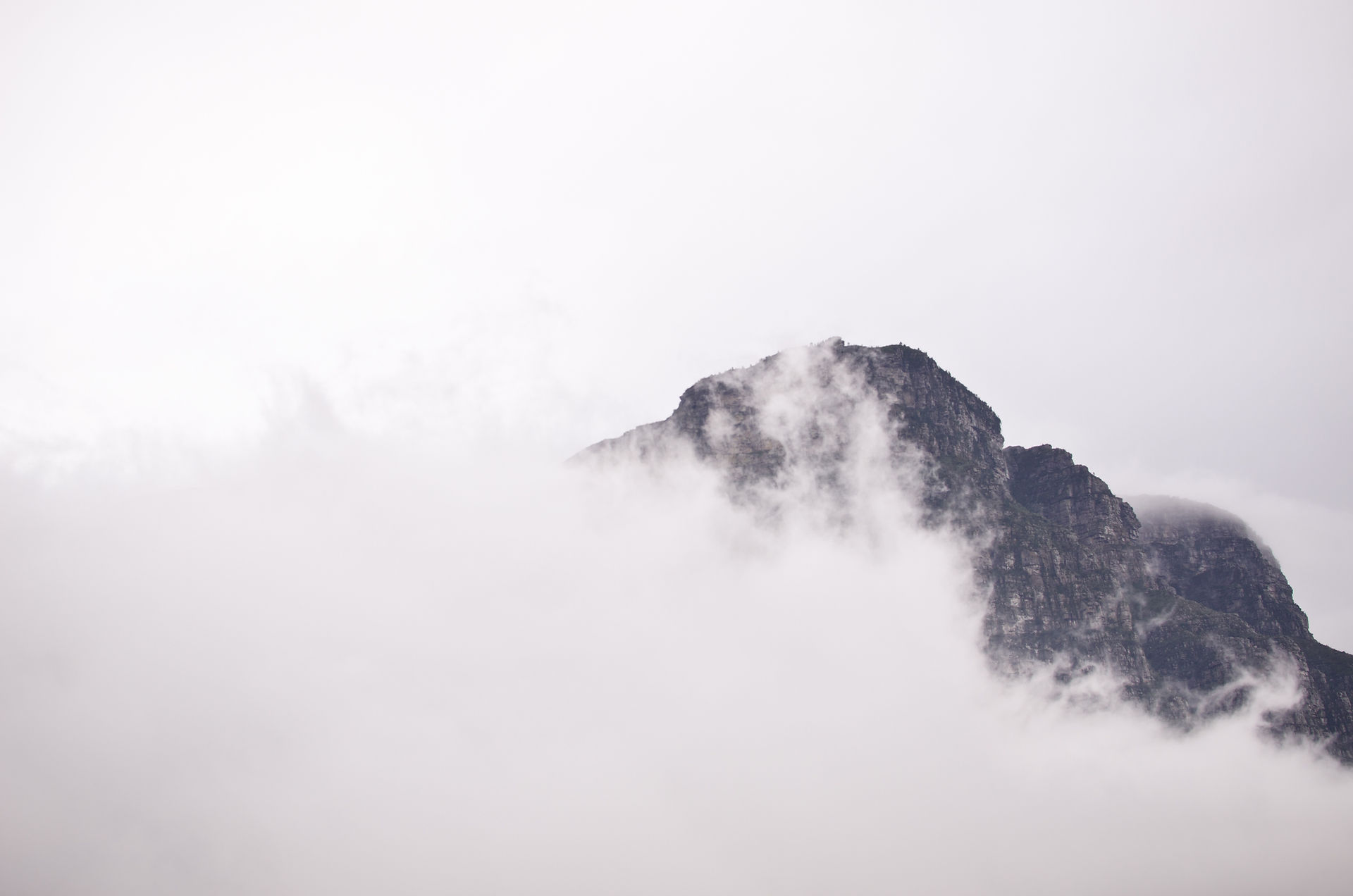
I have to say, the views on top of Mount Yonah are probably the best in Georgia. After you make the long exhausting trek to the top, you will be gifted with an amazing 360 view of the surrounding area. You will literally feel on top of the world as birds fly below you. Not to mention, the hike is well worth it for the amazing hamburger and milkshake waiting for you at the bottom! Hey... everyone has to indulgence sometimes and Yonah burgers are well worth it! Yonah Mountain is located just south of Helen in the small town of Cleveland, Georgia. Many people from Georgia know this town for the famous birth place of Cabbage Patch Dolls! I use to go to Cleveland all the time when I was little to visit the General Hospital where they birthed cabbage patch babies from piles of cabbage. Sound weird? Yeah, it kinda is... Anyways... Mount Yonah is also known as a military training camp for repelling, backpacking, camping, and rock climbing. I have personally never had a problem with the trail being closed due to military activity, but I would advise you to call first and make sure that the trail will be open to hikers.

Sign giving warning to hikers about Military Activity at the basecamp located 1.6 miles into the trail.
The trail will begin off of Chambers Mountain Road and you will turn onto a gravel road. Be careful driving on the gravel, it is sometimes hard for the cars to find grip well. My tires have spun out a few times! The trail itself is 4.4 miles roundtrip and it is rated moderately difficult. This is due to the steep incline in a relatively short distance. There are also some boulders that you will have to maneuver over, which I personally think is a lot of fun! If you are walking the trail in the springtime it will be abundant with wildflowers and wildlife! There are many different paths, but there are bright green markers giving the official route to the top. I know that there are some short cuts, but unless you are familiar with where they go, I would not advise taking them. While walking, you will cross a bridge .3 miles into the trail. At about mile 1, there will be a boulder field to climb over. At about 1.2 miles, you will come across a flat meadow with a beautiful view of Cleveland already. Your legs and lungs will also be thankful for the flat ground and break! Think of this meadow as the halfway point for your ascent. From this point, you can see a view of the top of Mount Yonah, and you will begin to realize how much more incline you have to go! Now begins the most challenging point of the hike, in my opinion. Soon after leaving the meadow, you will begin to ascend up a steep pathway littered with loose rocks to step over. This is the point where I start losing my breath, so prepare for the steep ascent and take breaks when needed!

One of the more challenging parts of the hike. A steep ascent up a rocky pathway. Soon you will reach a gravel road, which is used for military vehicles. You will want to turn right on this road and follow the path way all the way to the military basecamp. Here you can take a break and explore the camp. Once you are ready, there is one more steep scramble to the summit! There are many pathways, but they will all take you to the top. The gravel pathway will be less steep, but a longer pathway. The other dirt routes are more challenging, but they are a more direct way to the top. Keep going, you are almost to the top! Let me tell you, the views are well worth the hard work!


WARNING! Be careful near the cliffs! There are many ledges that you could fall off of! Once you have taken in all the views, making your way down is relatively easy. Just be careful on the loose rocks. If you are feeling up to it, head to Yonah Burger. It is just down the road from the Mount Yonah Trail. They have awesome hamburgers and milkshakes!


All in all, you will not be disappointed with the hike. The trail itself is very beautiful and the view from the top makes the sweat and achey legs worth it! Hang a hammock here, relax, and enjoy the views! Life is to be experienced, journey wisely. Kelly Fitzgerald Hike Specs- Length- 4.4 miles Round Trip Elevation- 3,200 ft Parking- Free GPS Coordinates- 34.637383, -83.725117 // N34 38.243 W83 43.507 Dogs Allowed- Yes, keep them safe near ledges. Camping Allowed- Yes. Difficulty Rating- Difficult
Comments