Ole’ Smokey Chimney Tops
- Dec 27, 2016
- 3 min read

The hike to Chimney Tops is so far one of my all time favorite hikes in the southeast. The trailhead is located near Gatlinburg, Tennessee in the Smokey Mountain National Park. I love this because my family travels to Gatlinburg all the time. Therefore if you ever are traveling to Tennessee, check out this hike. It is for sure worth the trip.

My good friend and hiking partner modeling the Chimney Tops Sign I personally like Chimney Tops hike because it is unlike any hike I have ever done. Most hikes I’ve done, I have always just walked up steep inclines and climbed over a few rocks, but in this particular hike you will literally climb the spine of the mountain. You won’t be using any ropes or anything to climb, but you will have to pull yourself up over tall rocks once you reach the spine of the mountain. You will find your self on the very tippy top of the mountain. The view from here is absolutely beautiful. You will not be disappointed. Chimney Tops has unfortunately experienced some recent damage due to high traffic volume and abundant rainfall. This led to heavy erosion and dangerous conditions for hikers. Some hikers were trying to find other routes to the top and got stuck in unsafe situations, which also increased the erosion problem. Luckily, in 2012, the Trails Forever program was created which helped with the rehabilitation and preservation of this popular trail. Construction workers labored to improve the water drainage system and installed sandstone stairs along the trail. The Chimney Tops trail is now safer for visitors to scale its summits.

The start of the fun series of stairs.
Finding the trailhead is easier than you would think. It is about 6.9 miles from the Sugarland’s Visitor Center and it is right off Newfoundland Gap Road. This hike is relatively short, only 3.8 miles round-trip, but the steepness and nessacary climbing of this trail makes it a little more difficult. Many hikers who attempt to finish this hike cannot due to the steepness. To me, this actually sounded like a challenge and it is partly why I wanted to travel to Chimney Tops.

During the popular months in the Smokey Mountains, finding a parking spot for this hike can be quite difficult. Prepare to park on the side of the road. The first part of the trail isn’t too difficult. There are several bridges you will cross over and a fun river to stop and climb rocks in. My friend and I stopped and got in the river after our hike. The water was refreshing. I would suggest doing this in the summer months. After enjoying the nice walking trail, you will come across a series of stairs. Prepare to ascend about 960ft in just under a mile, which is a lot! After accomplishing the stairs, you will continue along a path. If you are hiking during the spring or summer months be on the look out for mountain laurel, rhododendron, and other wild flowers.

The difficult climb to the tippy top.
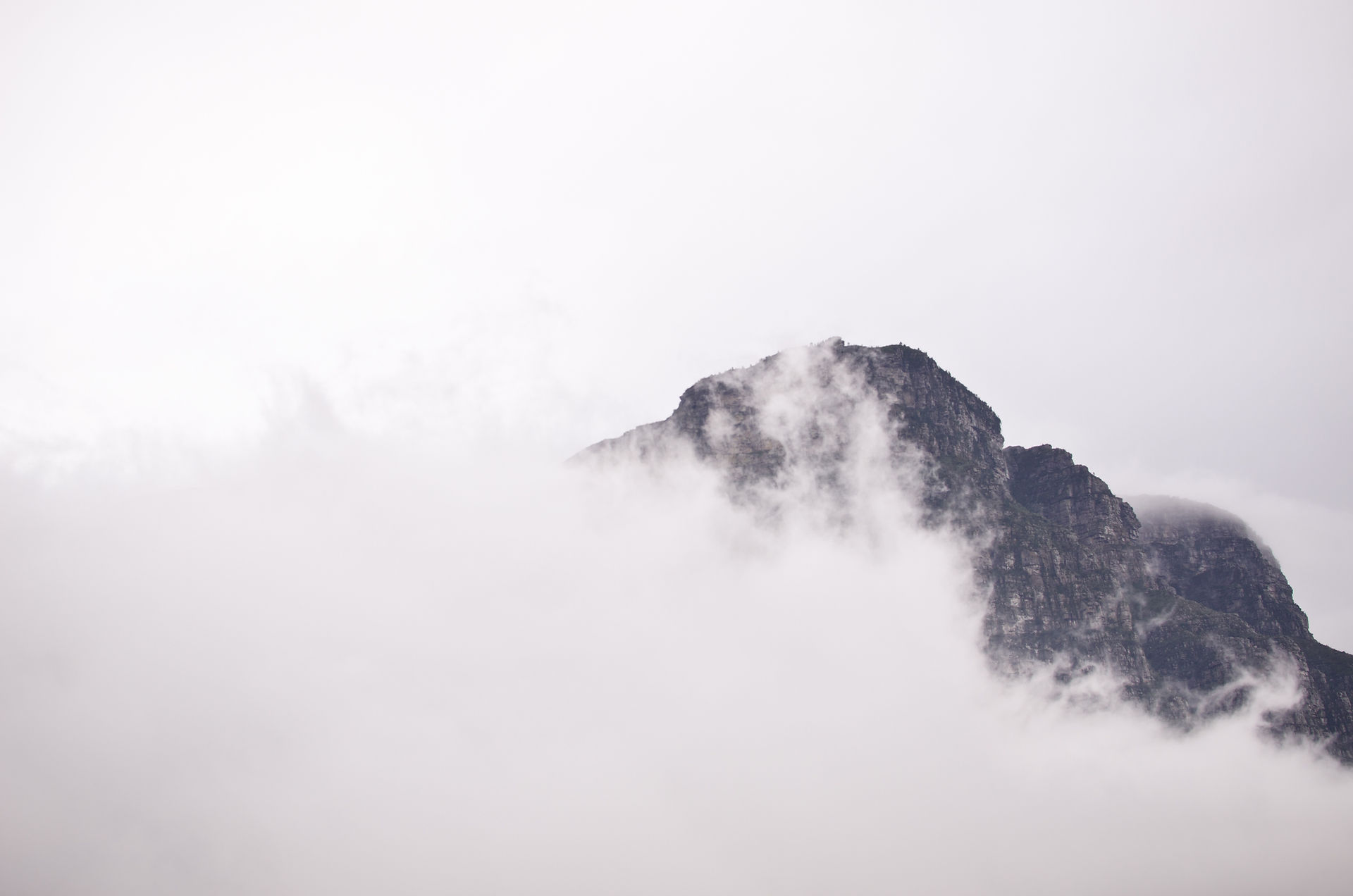
Once you have almost reached the top, be excited because this is where the fun begins. Technically, this is where the hike ends, but if you’re bad and don’t follow directions like me you will want to continue to climb up the spine of the mountain. There is a sign at the mid top that says, “Hikers should climb at their own risk”. If you choose not to continue, this is still a very beautiful spot with incredible views. I chose to continue, which I am so glad I did. You will not need any climbing gear, but you will be ascending 50ft up at a pretty steep rate. There were points where I got a little nervous, but it was worth it. If you an adventurous person and like trying new things, you will love this point of the hike. The view from the top is not like any other hike. You will find yourself standing on the literal tippy top of a mountain. No picture I take will ever do justice, you will have to go and experience it yourself.

If you are looking for a hike unlike any others, give the hike to Chimney Tops a try. You can also visit the little German town of Gatlinburg or the Red Neck Las Vegas (Pigeon Forge). Life is to be experience, Journey Wisely. Kelly Fitzgerald Hike Specs- Length: 3.8 miles round-trip Highest Elevation: 4,753 ft. in elevation Trail Difficulty- Moderate (Trail length is short, but very steep trail.) Dogs- Allowed, but they probably should not climb the steep parts. Location- Newfoundland Gap Road (Latitude: 35.63538, Longitude: -83.46979)
Comments